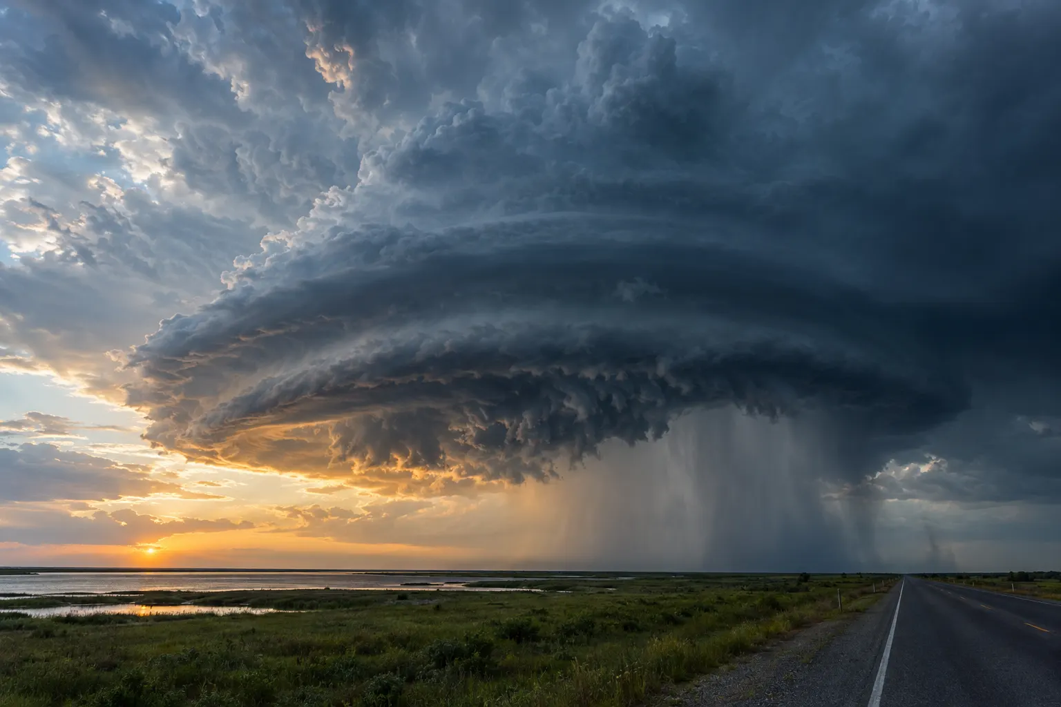
Multi-vehicle pileups in fog, hydroplaning in heavy rain, trucks blown over by crosswinds, and crashes into a low sun are all weather questions. Establishing conditions at the exact location and minute matters because fog and convective rain can change dramatically over a few miles.
Dr. Banks reconstructs visibility and road weather using station data, satellite fog detection, radar, and solar geometry, and explains what a driver could reasonably have encountered.
Questions a forensic meteorologist can answer
- What was the visibility at the crash location?
- Was dense fog present or forming?
- Was heavy rain falling, and could water have pooled?
- Were crosswinds strong enough to affect high-profile vehicles?
- Was sun glare a factor given the time and direction of travel?
- Was the road surface wet, snowy, or icy?
Records and data used
- ASOS and AWOS visibility and present-weather observations
- GOES satellite fog and low-cloud products
- NEXRAD radar for rain and snow intensity
- Road weather information system (RWIS) sensors
- Solar position calculations for glare analysis
- NWS advisories for dense fog, wind, and winter weather
Typical matters
- Fog-related multi-vehicle collisions
- Hydroplaning and wet-road crashes
- Commercial trucking accidents
- Wind-related rollovers
- Sun glare and visibility disputes
Frequently asked questions
Can visibility be estimated where there was no weather station?
Yes, within limits. Satellite imagery, nearby observations, terrain, and the physics of fog formation can be combined to estimate whether reduced visibility was likely at the crash site, with stated uncertainty.
Do you analyze sun glare?
Yes. Sun position at the time and place of the crash can be calculated precisely and compared with the direction of travel, along with cloud cover from satellite and surface observations.